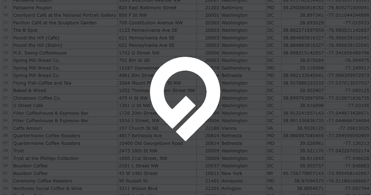
Bulk geocode US and Canadian addresses and latitude/longitude coordinates via spreadsheet upload and API. Quickly and easily append Census data, ZIP+4, Congressional districts, timezones, and more.
Cloud-native location intelligence platform for spatial analytics. Analyze, visualize, and develop apps with your spatial data at a limitless scale.
Map tools that work like clockwork. Map Tools. Modular, Interactive, Low code/no code
Develop with ArcGIS products. Build mapping and spatial analysis applications with powerful APIs, location services, and data management tools.